
AeroScientific
 C/- Innovation and Collaboration Centre Level 2, Uni SA Cancer Research Centre CNR North Tce and Morphett St Bridge Adelaide SA Australia
About
Provides affordable, high-quality aerial mapping software and hardware for aerial surveyors. AeroScientific (a business unit of Spatial Scientific Pty. Ltd.) focus of our aerial imaging technology is the award-winning Aviatrix flight management and aerial camera control system. Our imaging systems make aerial data capture significantly easier, cheaper, and more efficient than any other flight management system available today.
Details
Business Type: Software Aerial Mapping
Delivery: N/A
Pickup: N/A
Contact Info
Opening Time
Monday :9:00AM - 5:00PM
Tuesday :9:00AM - 5:00PM
Wednesday :9:00AM - 5:00PM
Thursday :9:00AM - 5:00PM
Friday :9:00AM - 5:00PM
Similar Listing
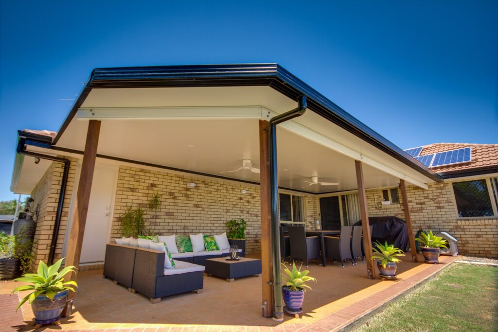
Diamond Patios Brisbane
11005/300 Old Cleveland Road Coorparoo Australia

Drumplings
227-229 Bourke St Melbourne Australia

The St. Kilda Dispensary
13-15 Brighton Rd St Kilda Australia

The PITT
24 Clifton St Prahran Australia